Engineering Precision for Every Acre.
The premier provider of mapping and surveying services in South Sudan.
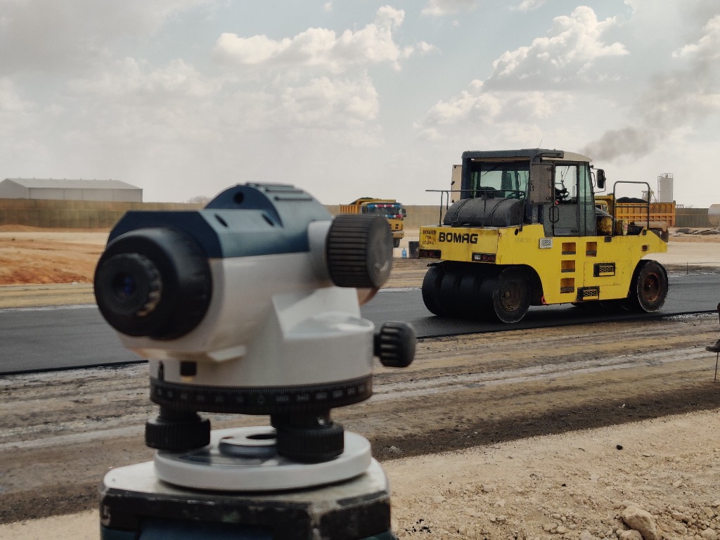
Topographic survey work, shown from the field.
Watch our team translate field observations into dependable terrain data for planning, design, and construction decisions across South Sudan.
Surveying Solutions for Complex Challenges
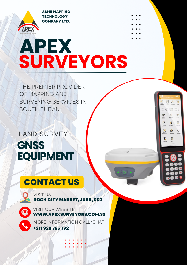
Survey Equipment
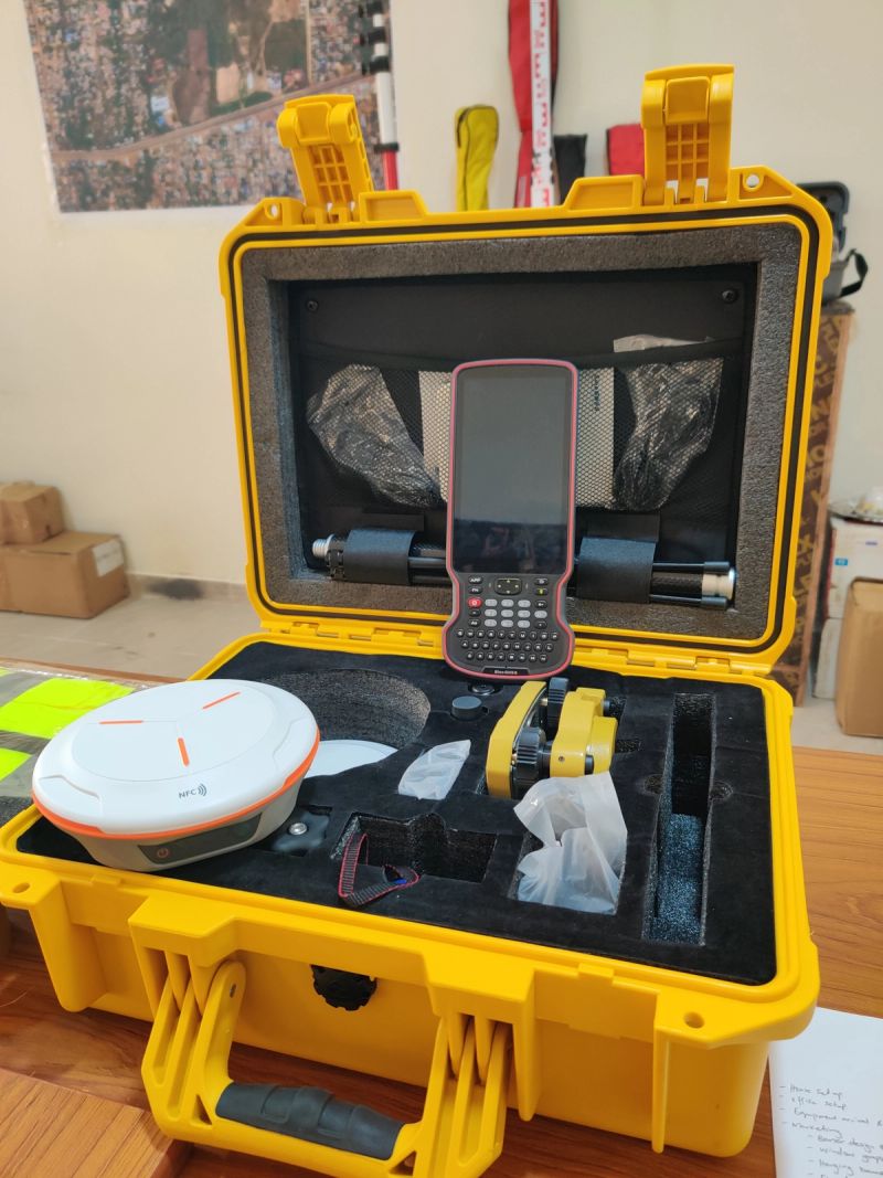
Deploying high-precision Survey Equipment for instant millimeter-level positioning.

Topographic Surveying
Detailed mapping of terrain elevations, contours, and physical features for engineering layout and site planning.

Professional Training
Empowering engineering teams with certified, hands-on field instruction and advanced geomatics calibration workflows.
Streamlined precision from field to final report.
Site Survey
Our team deploys to the location for comprehensive data collection using state-of-the-art instruments.
Data Processing
Advanced software transforms raw field data into accurate 2D/3D digital blueprints and models.
Report Delivery
Final documentation is compiled, including certified maps, certificates, and technical analysis.
Handover
Digital and physical assets are transferred, followed by a stakeholder walkthrough of all findings.
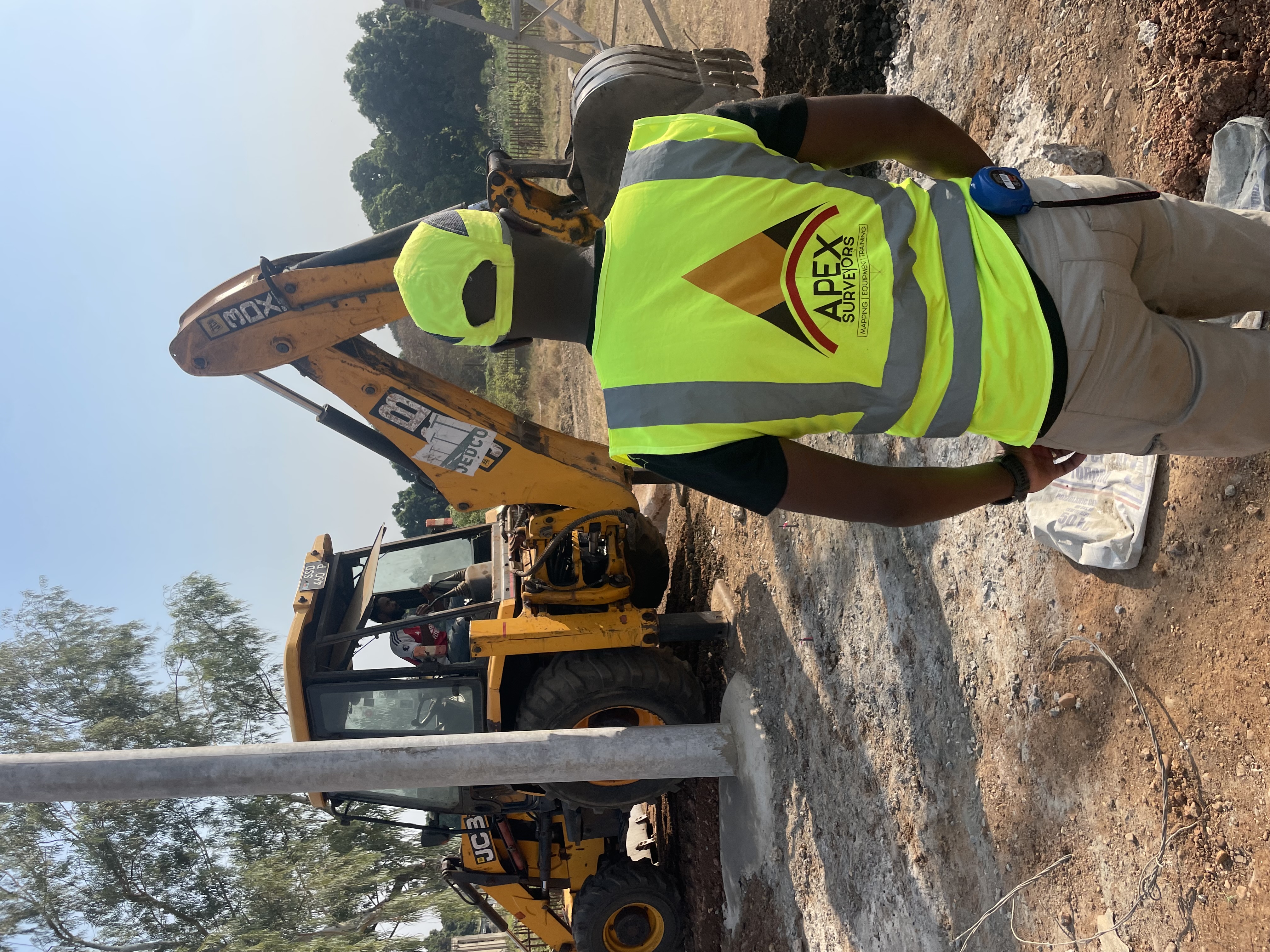
Years of technical leadership in land survey.
Registered Experts
Fully accredited surveyors with multi-jurisdictional licensing and regulatory compliance.
Modern Tech
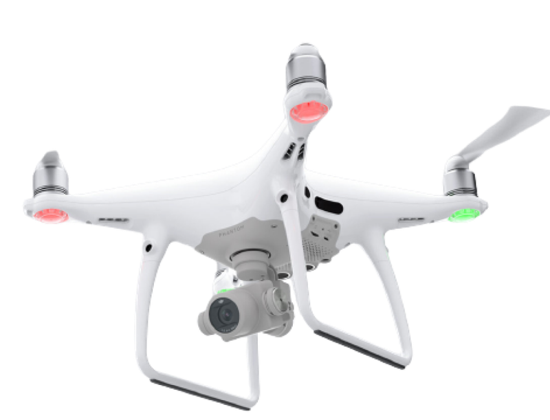
We invest in the latest robotic total stations, aerial drones, and mobile LiDAR solutions.
Fast Turnaround
Efficient field-to-finish data processing pipeline ensures timely project milestones.
Millimeter Precision
Triple-check quality control protocols for every acre, ensuring legal and technical certainty.
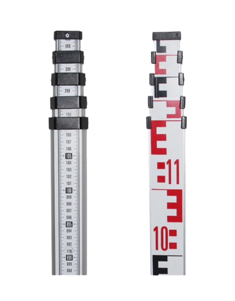
Precision Surveying Equipment
Deploy the same high-precision, industry-leading instruments our engineering team trusts in the field. Built for absolute mathematical certainty.
Our Surveying Teams in Action
Real-time geomatics execution, site layout calibrations, and high-precision RTK GNSS boundary surveys conducted by our certified engineers across South Sudan.
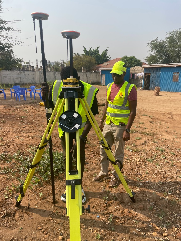
GNSS Base Station Setup
Calibrating dual-frequency RTK GPS receivers on a precision tripod, establishing baseline control points for land development projects in Juba.
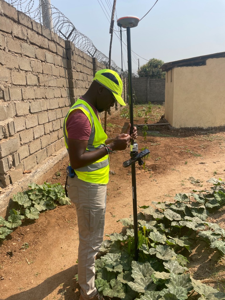
Perimeter Measurement
Conducting boundary staking and easement verification next to secure facilities, mapping complex site lines with millimeter accuracy.
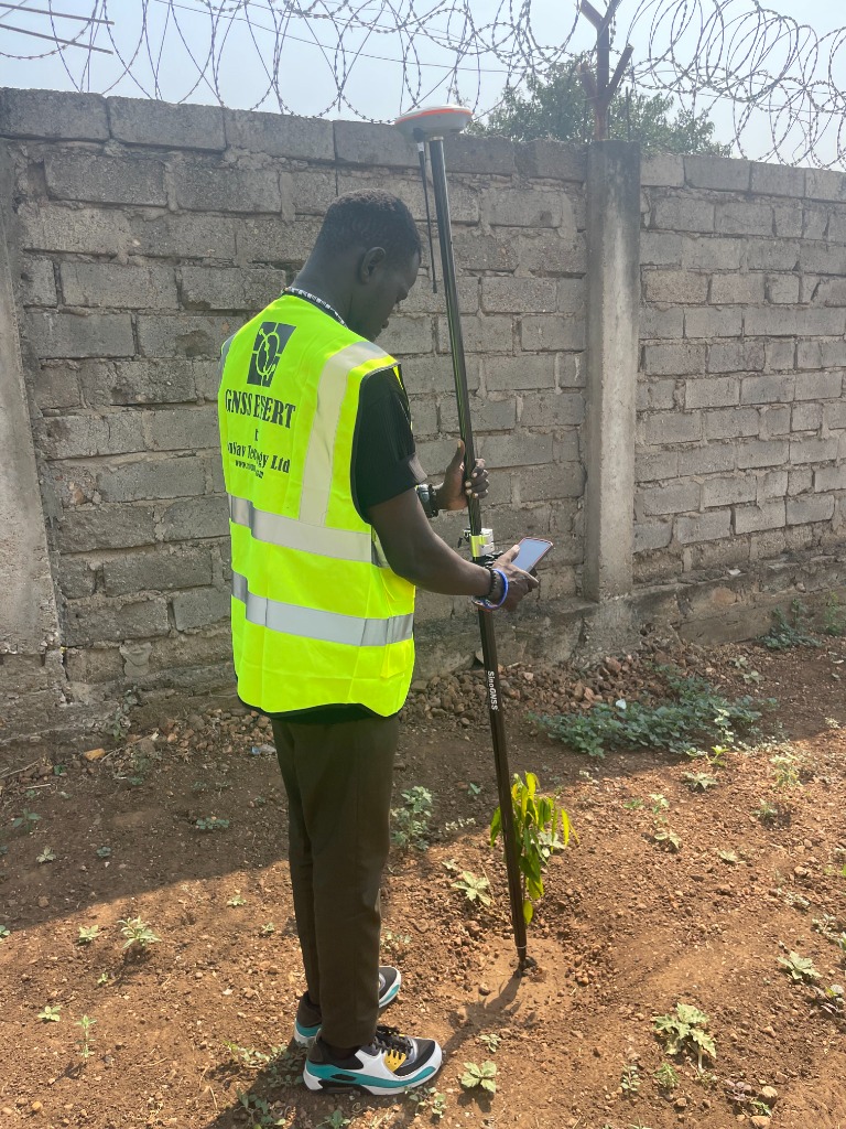
Coordinate Data Collection
Collecting topographical points with an RTK rover pole and high-gain receiver, syncing spatial data in real time with our geomatics servers.
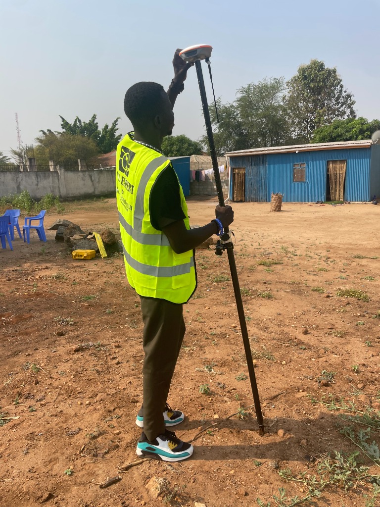
Field Layout Verification
Performing engineering site stakeouts and as-built surveying using high-precision GNSS equipment for site layout verification.
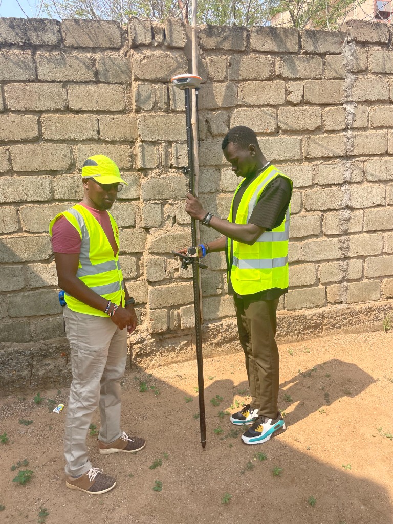
Collaborative Measurement Staking
Cross-calibrating physical markers and digital models directly in the field, ensuring maximum safety and legal boundary alignment before infrastructure work begins.
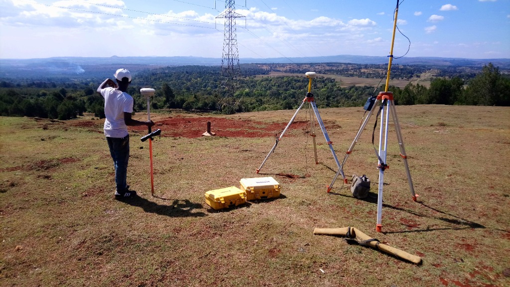
Utility & Grid Alignment
Conducting route alignment measurements and easement verification near transmission grids, mapping topographical corridors in South Sudan.
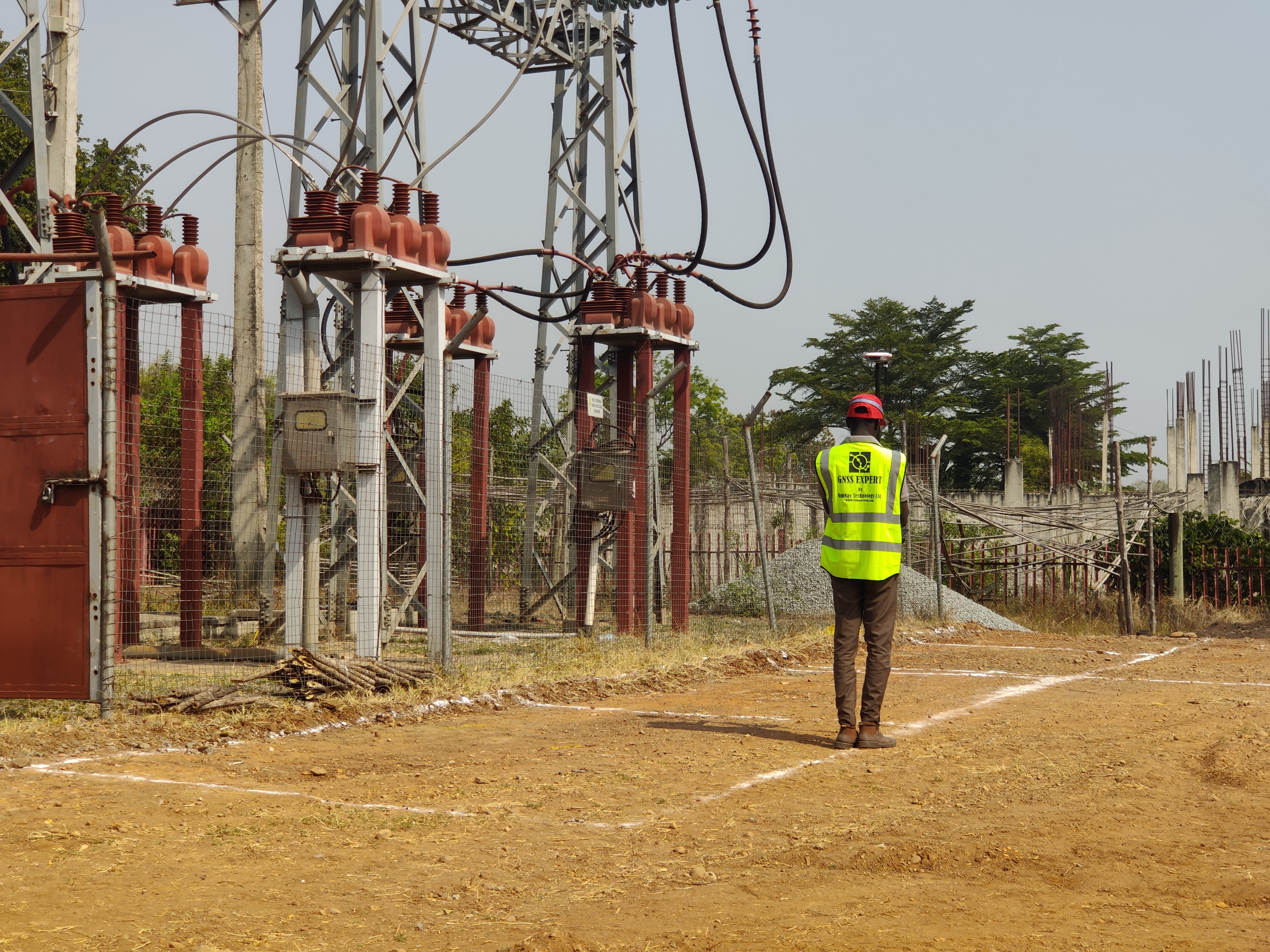
Foundations Mapping & Layout
Delivering precise foundation mapping and structural layout control to support concrete pours and structural alignment for critical construction works.
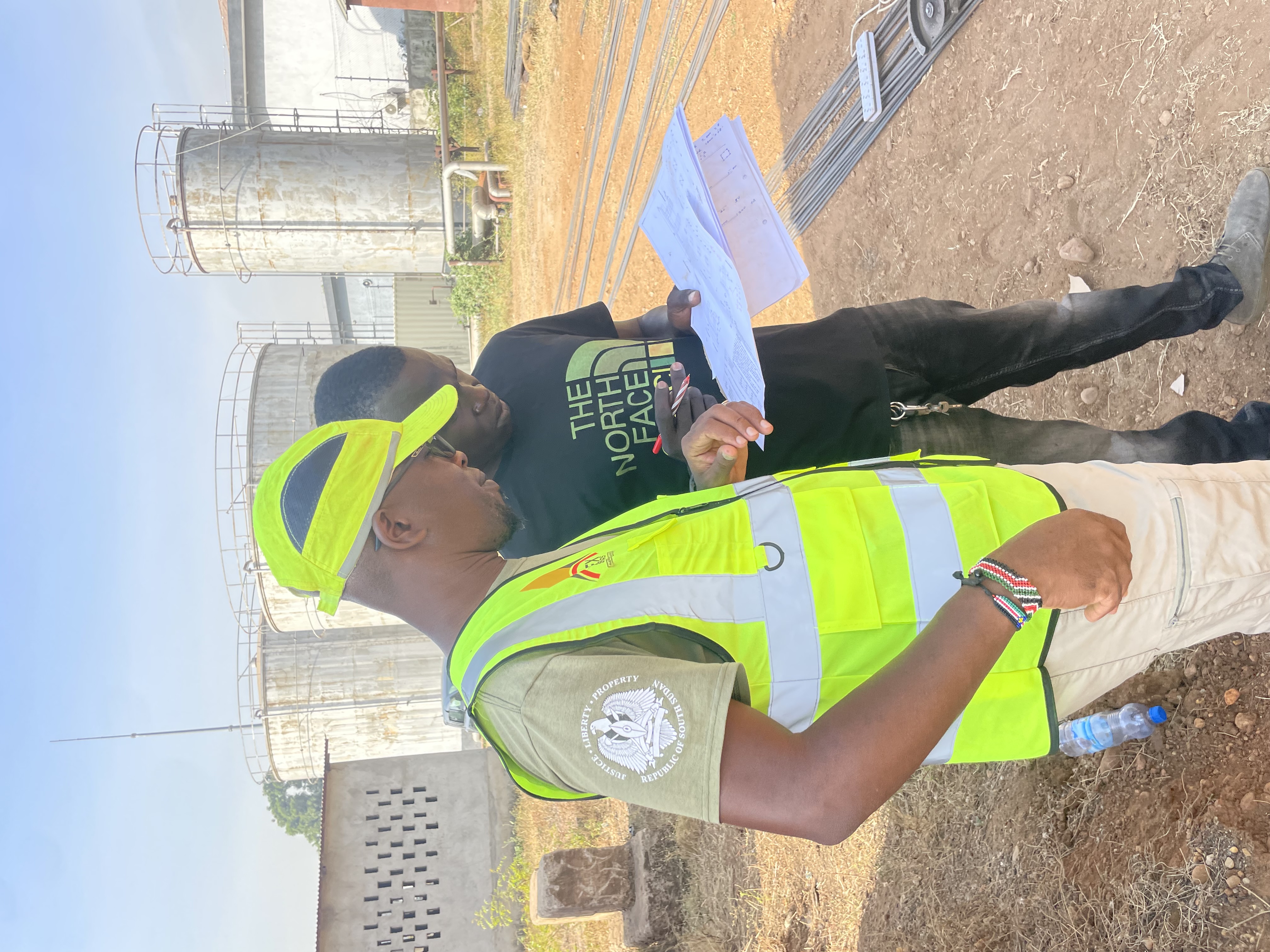
Interpreting IFC Drawings
Translating BIM and IFC models into actionable field layouts, ensuring engineering data is accurately implemented on the ground.
Industry Insights
READ ALL POSTSReady to calibrate your next project for success?
Contact our senior engineering team today for a custom survey quote tailored to your specific requirements.